
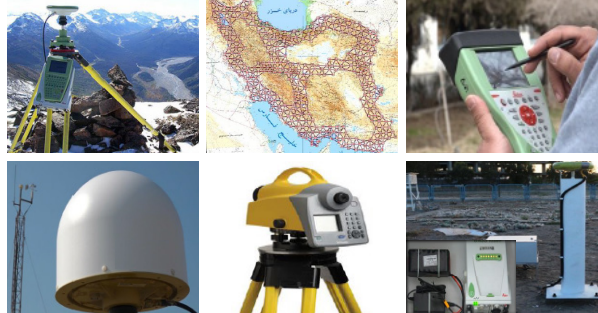
Positioning and Navigation
Performing all necessary calculation on collected data using scientific and commercial software. ● Controlling and supervising the technical and executive process of calculations in surveying projects. ● Calculating Qibla direction ● Establishing geodetic networks. ● Collecting data using surveying. ● Installing and implementing permanent positioning system. ● Interpreting aerial and satellite images.
Catalog
| Attachment | Size |
|---|---|
| 400 (53)_0.pdf | 459.13 KB |
No.
453