
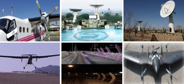
Collecting Spatial and Aerial Data
Designing and implementing a digital aerial photogrammetry and laser scanning using a manned aircraft and an unmanned aerial vehicle with the aim of producing large scale coverage 3D maps. ● Establishing and implementing fixed and mobile stations which directly receive information and satellite images in different spatial resolutions across a 2800 kilometer peripheral radius and perform the related processing
Catalog
| Attachment | Size |
|---|---|
| 400 (53).pdf | 459.13 KB |
No.
453