
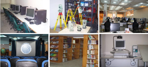
Faculty of Geomatic Sciences
Cooperating with and providing educational services in graduate courses (MS and Ph.D.) of Geodesy, Photogrammetry, Remote Sensing, Hydrography, and GIS. ● Holding specialized theoretical and technical training courses on different software and equipment in new geomatic sciences ● Teaching underground mapping, urban and agricultural cadastral mapping and other educational courses. ● Holding higher education courses at undergraduate and graduate levels in mapping engineering, Photogrammetry, cartography under the license of Science, Research and Technology Ministry
Catalog
| Attachment | Size |
|---|---|
| 400 (57).pdf | 479.86 KB |
No.
457